
Introduction: A joint project between The Forest Experience and Metis Engineering to show how motion and positioning data from the Metis suite of sensors can be used to better support the optimum setup of a rally car. We focused specifically on the recording data to allow accurate quantification of the vehicles sideslip angle. Understanding this parameter allows informed tuning/selection of:
- Differential
- Suspension
- Brakes
- Tyres
Ultimately leading to a better all-round performance of the car come race day.
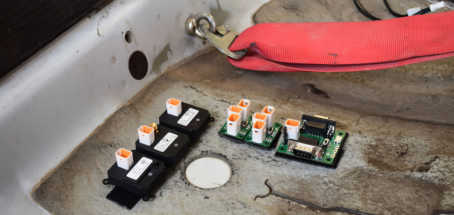
Setup: To record the sideslip angle over the length of the course we used three Metis sensors, the Development Kit and two CAN Link Kits:
- 1 x AHRS - Providing a stable Yaw/Slip angle;
- 1 x Dead Reckoning Sensor - Providing a stable position even with intermittent GPS coverage;
- 1 x Air Quality Sensor - Providing data on vehicle altitude;
- 1 x Development Kit;
- 2 x CAN Link Kits.
Alternative methods of gathering this data can be time consuming, complicated and effected by the dusty, un-even terrain. These sensors can be left in situ for the duration of the testing phase without requiring additional enclosures.
Data Visualisation: The simple output data format of each sensor allows the data to be easily overlaid onto a map and then synced with a video feed. As shown in the image below and as explained in the video, the green line represents the GPS course over ground. At this point, GPS signal was being received, however if the GPS signal were to be obscured, the Dead Reckoning Sensor would use it’s inertial sensors on board to calculate and continue the position tracking. Yaw data from the AHRS Sensor was then used to plot the rally car’s side slip angle, comparing it with the GPS course over ground.


